UN
90 Sandy Lane
£ 87,000
Description
We don't have a Description for this property.
- Bedrooms
- 3
- Bathrooms
- 0
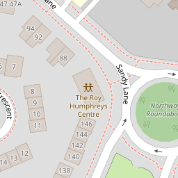


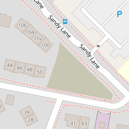


Leaflet © OpenStreetMap contributors
The heatmap indicates the level of crime in the area. The color of the heatmap indicates the crime severity and recency.
Metrics Year-on-Year
- Average area value
- 436,619.00 £Increased by 12.60 %
- Average area rental value
- 1,370.00 £/moIncreased by 52.39 %
- Est rental Yield
- 3.77 %Increased by 35.61 %
- Crime Rate
- 2.00 %Unchanged by 0.00 %
from 387,750.00 £
from 899.00 £/mo
from 2.78 %
from 2.00 %
Nearby Schools
| Name | Type | Ofsted | Distance |
|---|---|---|---|
| St Stephen'S Catholic Primary School | Voluntary Aided School | Outstanding | 0.10 KM |
| Sandy Lane Children'S Centre | Children's Centre | 0.22 KM | |
| Sandy Lane Nursery And Forest School | Local Authority Nursery School | Outstanding | 0.22 KM |
| Meadowside Community Primary And Nursery School | Academy Converter | 0.28 KM | |
| St Andrew'S Cofe Primary School | Voluntary Aided School | Good | 0.54 KM |
Images
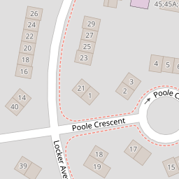
Nearby Streets
| Name | Average Price | Average Sqft | Distance |
|---|---|---|---|
| Poole Crescent | £ 175,000 | 0 | 0.00 KM |
| Cooper Avenue | £ 0 | 0 | 0.00 KM |
| Northway | £ 156,000 | 0 | 0.00 KM |
| Sinclair Avenue | £ 197,498 | 0 | 0.00 KM |
| The Coppins | £ 243,333 | 0 | 0.00 KM |
Nearby Transport
| Name | NLC | TLC | Distance |
|---|---|---|---|
| Warrington Central | 2390 | WAC | 2.43 KM |
| Warrington Bank Quay | 2384 | WBQ | 3.35 KM |
| Padgate | 2387 | PDG | 3.73 KM |
| Newton-Le-Willows | 2257 | NLW | 5.14 KM |
| Warrington West | 6583 | WAW | 5.77 KM |
Nearby Listings
| Address | Price | Type | Score | Distance |
|---|---|---|---|---|
| Sandy Lane, Warrington, WA2 | £ 167,950 | BUY | 5 / 10 | 0.02 KM |
| Northway, Warrington, Cheshire, WA2 | £ 165,000 | BUY | 5 / 10 | 0.17 KM |
| Northway, Warrington, WA2 | £ 205,000 | BUY | 7 / 10 | 0.20 KM |
| The Coppins, Warrington | £ 250,000 | BUY | 6 / 10 | 0.29 KM |
| Borrowdale Avenue, Warrington, WA2 | £ 180,000 | BUY | 7 / 10 | 0.32 KM |
Nearby Properties
| Address | Price | Distance |
|---|---|---|
| 90 Sandy Lane | £ 87,000 | 0.00 KM |
| 88 Sandy Lane | £ 87,000 | 0.00 KM |
| 92 Sandy Lane | £ 134,000 | 0.00 KM |
| 1 Poole Crescent | £ 68,500 | 0.08 KM |
| 7 Poole Crescent | £ 79,000 | 0.08 KM |